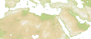
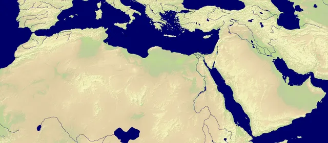
Map of Middle East and North Africa, with some parts of Southern Europe visible. Mostly hilly terrain with most of the mountains present in the northern part of the map. There are some water and rivers.
Nations
The map features 35 named nations, including Spain, Portugal, Morocco, Algeria, Tunisia and Libyan Arab Jamahiriya.
Map data
- Categories: Asia, Africa
- Nations: 35
- Public rotation frequency: 6
Technical
The size of the map is 2200 x 964.[1]