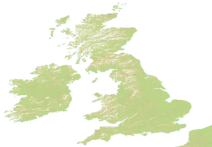
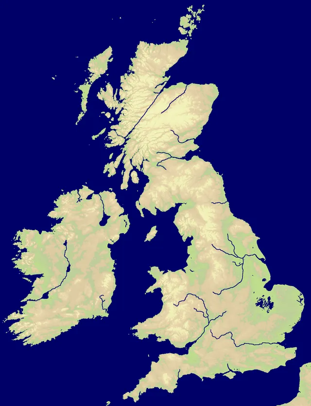
Map of the British Isles (Great Britain and Ireland) with a bit of northern France.
This map also has some old British kingdoms and lordships, making it the one with the coolest flags.
Nations
The map features 20 named nations, including Pas-de-Calais, Mayo, Kerry, Clare, Meath and Highland.
Map data
- Categories: Europe
- Nations: 20
- Public rotation frequency: 5
Technical
The size of the map is 2000 x 1397.[1]