Not to be confused with Strait of Gibraltar
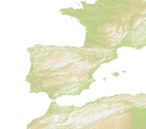
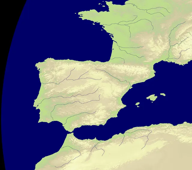
Gateway to the Antlantic is a map with a canal in the middle (naturally-made). There are two lands, one in the north and one in the south. Europe is on the north side, and Africa on the south side.
Nations
The map features 27 named nations, including Swiss Confederation, Duchy of Burgundy, Duchy of Aquitaine, County of Provence, Kingdom of Navarre and Kingdom of Valencia.
Map data
- Categories: Europe
- Nations: 27
- Public rotation frequency: 5
Countries
- Spain
- France
- Gibraltar
- Morocco
- Algeria
Nations
There are four special nations used on this map.
- Baguettes
- An anti pope
- Wine
- Sardines
Technical
The size of the map is 2216 x 1968.[1]