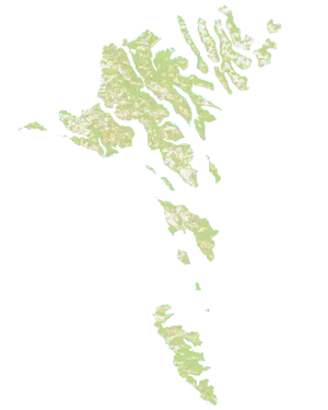
Map of the Faroe Islands, a real life island cluster located in the north Atlantic sea, between Iceland and Great Britain. It is currently under the Kingdom of Denmark.
The map itself presents a lot of waterways and it is a good map for naval invasions and trading via ports.
Nations
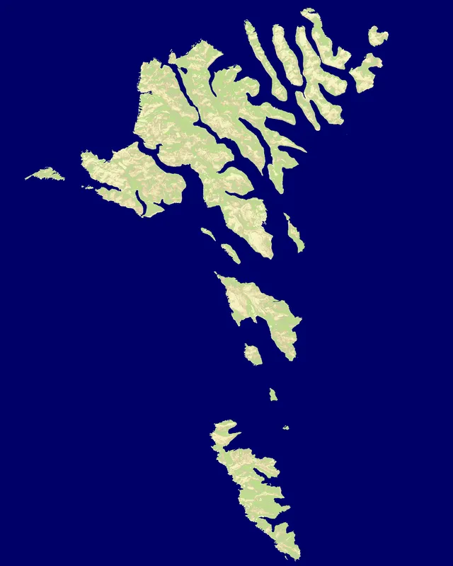
The map features 6 named nations, including Suduroy Region, Sandoy Region, Vagar Region, Streymoy Region, Eysturoy Region and Nordoyar Region.
Map data
- Categories: Europe
- Nations: 6
- Public rotation frequency: 4
Technical
The size of the map is 1600 x 2000. [1]