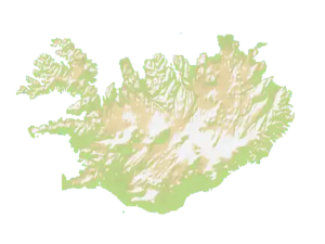
Map of the country Iceland.
It’s very mountainous and it has a very folded coastline. That makes it not only good for land attacks but also for trade ships.
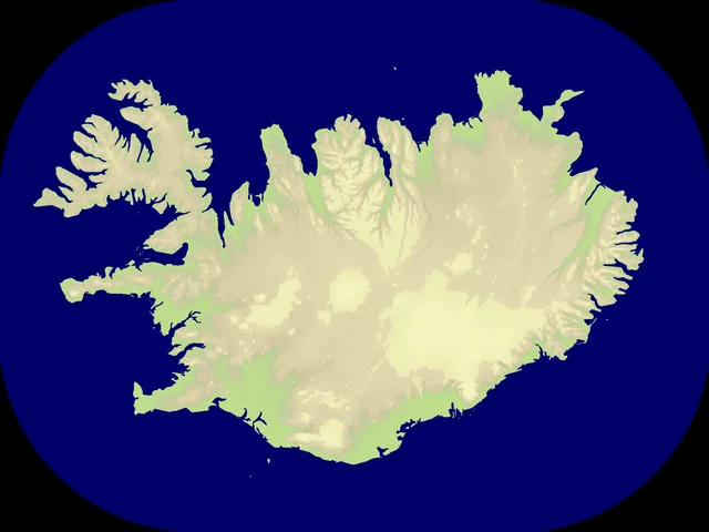
Nations
The map features 8 named nations, including Southern Peninsula, Capital Region, Western Region, Westfjords, Northwestern Region and Southern Region.
Map data
- Categories: Europe
- Nations: 8
- Public rotation frequency: 4
Technical
The size of the map is 2000 x 1500.[1]